
Anopoli is a mountain village on a high plateau above Chora Sfakion, in the Sfakia region of south-west Crete. It belongs to the Chania region, and the peaks of the White Mountains ring the plain on almost every side. Scattered hamlets spread across the plateau around a central square, which holds a statue of Daskalogiannis, the local rebel leader born here. Old stone churches, the ruins of ancient Anopolis and mountain paths edge the village. The plateau sits high above the roadless southern coast. Walkers use it as a gateway to the peaks and the sea. Plan your route through this quiet corner with My Greece Tours.
This page sets out what Anopoli holds and how it connects to the wider mountain district around it. The sections below cover the plateau and its hamlets, the square and its rebel history, the churches and ancient ruins, the walking routes to the coast and gorges, and the food and lodging on offer. Read each part before you set out. The terrain is steep, and the distances run longer than the map suggests. For the full picture of the island, pair this with the Crete travel guide and its regional chapters.
Where is Anopoli in Crete and what is the plateau like?
Anopoli lies on a high plateau above Chora Sfakion, in the Sfakia region of south-west Crete, within the Chania region. The White Mountains ring the plain, and scattered hamlets spread across it around a single central square.
The plateau rises steeply from the port of Chora Sfakion by a switchback road that climbs the cliff face in a run of tight bends. At the top the ground opens into a broad, flat basin held between mountain ridges. Olives grow across the floor of the basin, and sheep and goats graze the rough grass around them. The plain does not form one compact village. Its houses gather instead into small hamlets set apart across the fields, each with its own name, all counted together as Anopoli. This dispersed layout is a Sfakian pattern, born of feuding families who kept their distance from one another.
The central square, with the tavernas and the war memorial, gives the settlement a shared focus among the fields. From the plateau edge the ground falls away sharply to the sea far below.
The mountains that ring the plateau are the western massif of the White Mountains, the highest range on the island after the eastern peaks of Psiloritis. Pachnes, the second-highest summit in Crete, rises to the north of the plain. Rough tracks climb toward it from the edge of the fields. The plateau keeps a cooler, sharper air than the coast far below, and snow lies on the tops well into spring. For a fuller sense of the range and its trails, the page on the White Mountains sets out the peaks, the refuges and the season for high walking. Those details shape how travellers use Anopoli as a starting point above the southern coast.
The range gives the plateau its cold nights and its long walking season across the higher months of the year.
Who was Daskalogiannis and why does his statue stand in Anopoli?
Daskalogiannis was a Sfakian ship-owner and rebel leader born in Anopoli. He led an eighteenth-century revolt against Ottoman rule across the region. His statue stands in the central square, and the square carries his name as its local landmark.
Daskalogiannis, whose name means the teacher John, came from a prosperous Anopoli family that owned merchant ships and traded across the eastern Mediterranean. In the second half of the eighteenth century he raised the men of Sfakia in an armed rising against Ottoman rule. Promises of outside support drew him on, yet that help never fully arrived. The revolt was crushed, and Daskalogiannis surrendered to spare his region worse reprisals. Ottoman authorities took him to Heraklion and executed him there by flaying. A long folk poem, the Song of Daskalogiannis, recorded his story in the Cretan dialect.
That song kept his memory alive across the mountains for later generations of Sfakian fighters, and it remains one of the region’s best-known oral works. Singers still perform it at village gatherings on the plateau today.
His bronze statue stands in the central square of the plateau, facing the peaks he once defended, and the square itself is named for him. The revolt fits a longer pattern of Sfakian resistance. The district stayed hard for any occupier to hold. It served as a refuge for rebels through Venetian, Ottoman and later occupations of the island. Travellers who want the wider story of this fierce mountain district can read the page on Sfakia. That page sets Anopoli within the region of gorges, feuds and revolts that shaped the reputation of the White Mountains coast.
It explains how the plateau fits the district’s long history of armed independence, and how the village linked the fighters of the interior with the harbours down on the shore below.
What churches and ancient ruins does Anopoli hold in Crete?
Anopoli holds old stone churches across its hamlets and the ruins of ancient Anopolis, a Doric town of the classical and Roman eras. Carved stones, wall lines and cistern traces survive on the low rise above the modern plateau settlement.
The ancient town of Anopolis stood on a low hill on the eastern edge of the plateau. It began as an independent Doric community and later fell under Roman and then Byzantine control. What survives today is fragmentary. Sections of wall, cut blocks reused in later buildings, cisterns and scattered pottery lie across the slope. The site never drew large-scale excavation, so it stays open and unguarded, a quiet ruin among the grazing land. The modern hamlets grew up close by. Older stones from the ancient town found their way into churches and field walls over the centuries.
That recycling of building material is a common sight across the long-settled mountain plateaus of the island, where old and new sit side by side. The ancient blocks still turn up in garden terraces and doorways around the modern hamlets.
The churches of the plateau are small, thick-walled stone buildings. A number date from the Venetian and early Ottoman centuries, and a handful hold faded wall paintings inside their dim naves. They stand scattered among the hamlets rather than gathered in one centre, matching the dispersed pattern of the settlement itself. One or two sit alone in the fields, reached by short tracks off the plateau road. Travellers building a route across the wider district can see how these mountain monuments fit the island’s church and monastery network on the page of things to do in Crete.
That guide ranges from the coastal sites and museums down on the shore to the high inland villages like Anopoli, and it helps set the plateau in the island’s wider picture.
What walking routes leave Anopoli toward the coast and gorges?
Anopoli anchors three main walking routes. Paths drop south to Loutro on the roadless coast, west through the Aradena gorge to the sea, and north toward Pachnes and the high peaks. A single-arch bridge spans the Aradena gorge west of the village.
The most walked route from Anopoli drops down the mountain flank to the coast at Loutro, a car-free harbour village reached only by boat or on foot. The path leaves the plateau near the eastern hamlets. It descends through terraces and old kalderimi paving to the shore, a walk of roughly two hours down. Walkers often ride up to Anopoli from the coast by the daily bus or a taxi, then descend on foot, saving the hardest climbing for the machine. The village on the water below is set out in full on the page for Loutro.
That page covers its beaches, its ferry links and the coastal trail that runs east and west along the shore of the Libyan Sea, tying the plateau to the coast.
West of the plateau the road runs to the lip of a deep canyon, crossed by a dramatic single-arch iron bridge, one of the highest road bridges in the country. From the bridge a marked trail descends into the ravine. It follows the dry stream bed down to the sea at the ruined village of Marmara. The walls of the gorge rise high and sheer on both sides, and the route grows rough and stony as it drops. The full walk through the canyon, its difficulty, its water points and the path out along the coast are described on the page for the Aradena Gorge.
It makes a quieter and rougher alternative to the crowded gorges further west across the region. The abandoned village of Aradena stands at the canyon’s edge near the bridge, its stone houses left empty.
Where can travellers eat and stay when visiting Anopoli?
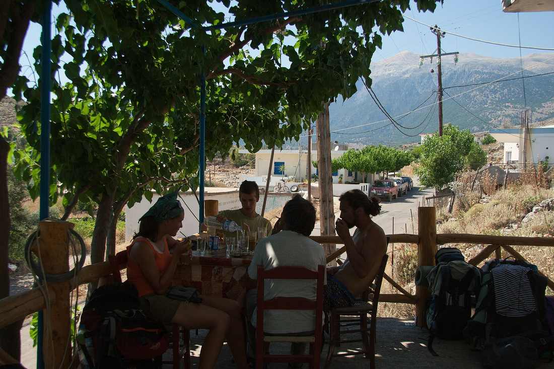
Anopoli offers tavernas around the central square serving Sfakian food, along with rooms, guesthouses and small studios across the hamlets. The plateau suits walkers who want a quiet mountain base above the coast rather than a resort with nightlife.
The tavernas of the central square cook the food of the Sfakia district, built on mountain meat and dairy rather than the fish of the resort coast. Roast lamb and goat, slow-cooked in the oven or grilled over wood, appear beside the Sfakian pie, a thin coil of fried dough filled with soft cheese and served with local honey. Wild greens, tender cheeses from the summer grazing and strong village raki round out the table. The cooking is plain, generous and rooted in the herding year of the plateau.
The wider tradition of these mountain dishes is set out on the page for Cretan food, which links the recipes to the land and the animals that produce them across the region. The tavernas draw their meat from the flocks grazing the plateau within sight of the tables.
Lodging on the plateau runs to guesthouses, rooms above the tavernas and a scatter of small studios among the hamlets. Most are family-run and open through the walking season from spring to autumn. Nights are cool and quiet at this height. The sky over the plain stays dark and thick with stars once the tavernas close and the village goes to sleep. Travellers weighing this high, remote base against the resorts of the north coast can compare the options on the page for hidden gems in Crete. That guide gathers the island’s quieter corners for travellers who prefer walking and village life to the beach strips, the marinas and the nightlife of the packed northern shore.
Booking ahead helps in the short high season, since bed numbers on the plateau stay small.
Frequently Asked Questions
How do you get to Anopoli from Chora Sfakion?
A paved mountain road climbs from Chora Sfakion up to the Anopoli plateau, rising in a long run of switchbacks up the cliff behind the port. The drive covers roughly twelve kilometres and gains around six hundred metres of height. It takes about twenty-five minutes by car in dry weather. A local bus runs the route on set days in the walking season, and taxis wait at the port for the trip up the mountain. Walkers often use the road only for the climb. They ride up to the plateau, then descend on foot to the roadless coast at Loutro, or drop through the canyon to the west.
The full range of walks that fan out from the plateau, and the way those routes link back to the mountains behind the village, follow marked paths across the western massif. The trails run in the context of the wider range and its high peaks, and the plateau serves as the highest road-served point on the southern flank.
Is Anopoli a good base for walking in the White Mountains?
Anopoli serves as one of the main southern gateways into the western White Mountains. It sits high on the range’s flank, with tracks already climbing toward the peaks from the edge of the fields. From the plateau, walkers reach the ascent of Pachnes, the second-highest summit on the island. They drop the other way to the roadless coast at Loutro, or through the Aradena canyon to the sea. The plateau keeps tavernas, rooms and water, so walkers rest and resupply between routes rather than camping rough on the mountain. Spring and autumn suit the high walking best, since summer brings fierce heat to the rock and winter brings snow to the tops.
The full mountain district that surrounds the village carries its own hard history of feuds, gorges and revolt against foreign rule. Anopoli belongs to that district, the Sfakia region, and the plateau helps to define its high, roadless character above the coast.
What makes Anopoli different from the coastal resorts of Crete?
Anopoli sits high on a mountain plateau, cut off from the beach strips and nightlife of the northern coast. It keeps the working rhythm of a herding and walking village rather than a resort. Its houses spread into scattered hamlets across the fields. Its square holds a rebel’s statue instead of a marina, and its tavernas cook mountain meat and Sfakian pie rather than fish laid on for tourists. Nights are cool, dark and quiet, and the draw is the walking, the history and the silence rather than the sunbed and the bar. The village suits travellers who want the emptiest, highest corners of the island for themselves.
Other quiet places in the same spirit spread across the mountains and the remote southern coasts of the island. The plateau maps to the quiet side of the island, well away from the crowds and the packaged resorts of the busy northern shore, and it rewards travellers who arrive on foot.