
Skiathos Map: How the Island Is Laid Out
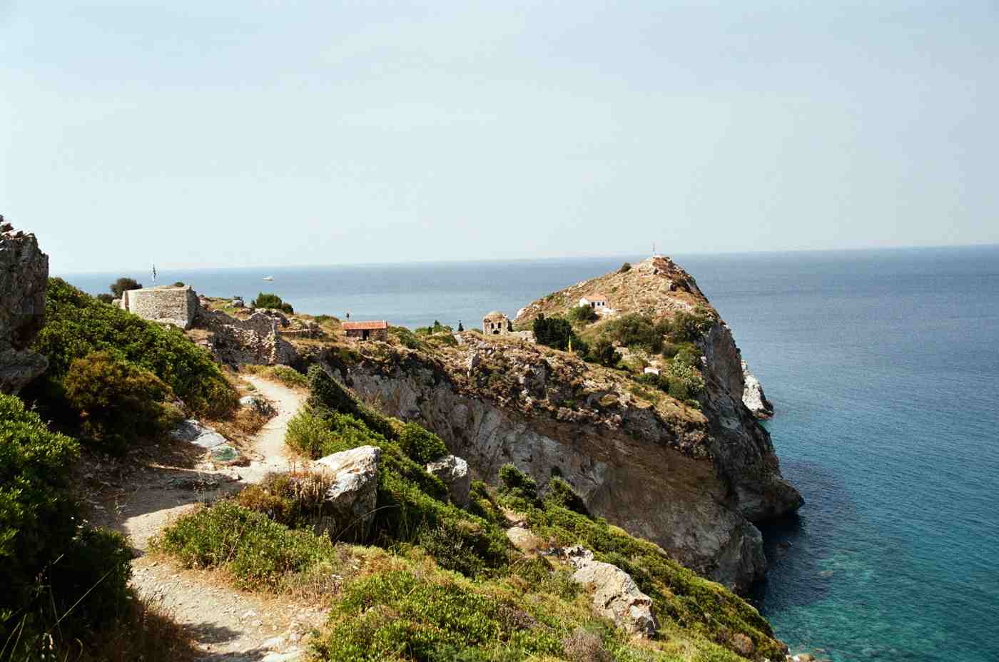
Kastro, Skiathos

Skiathos measures about 12 km long and 6 km wide, an island of roughly 48 square kilometres at the western edge of the Northern Sporades. The map splits into four zones: a developed south coast strung along one paved road, a wild north coast of dirt tracks. A boat-only east. A pine-covered interior crossed by … Read more
Skopelos Map: The Island’s Geography and Layout

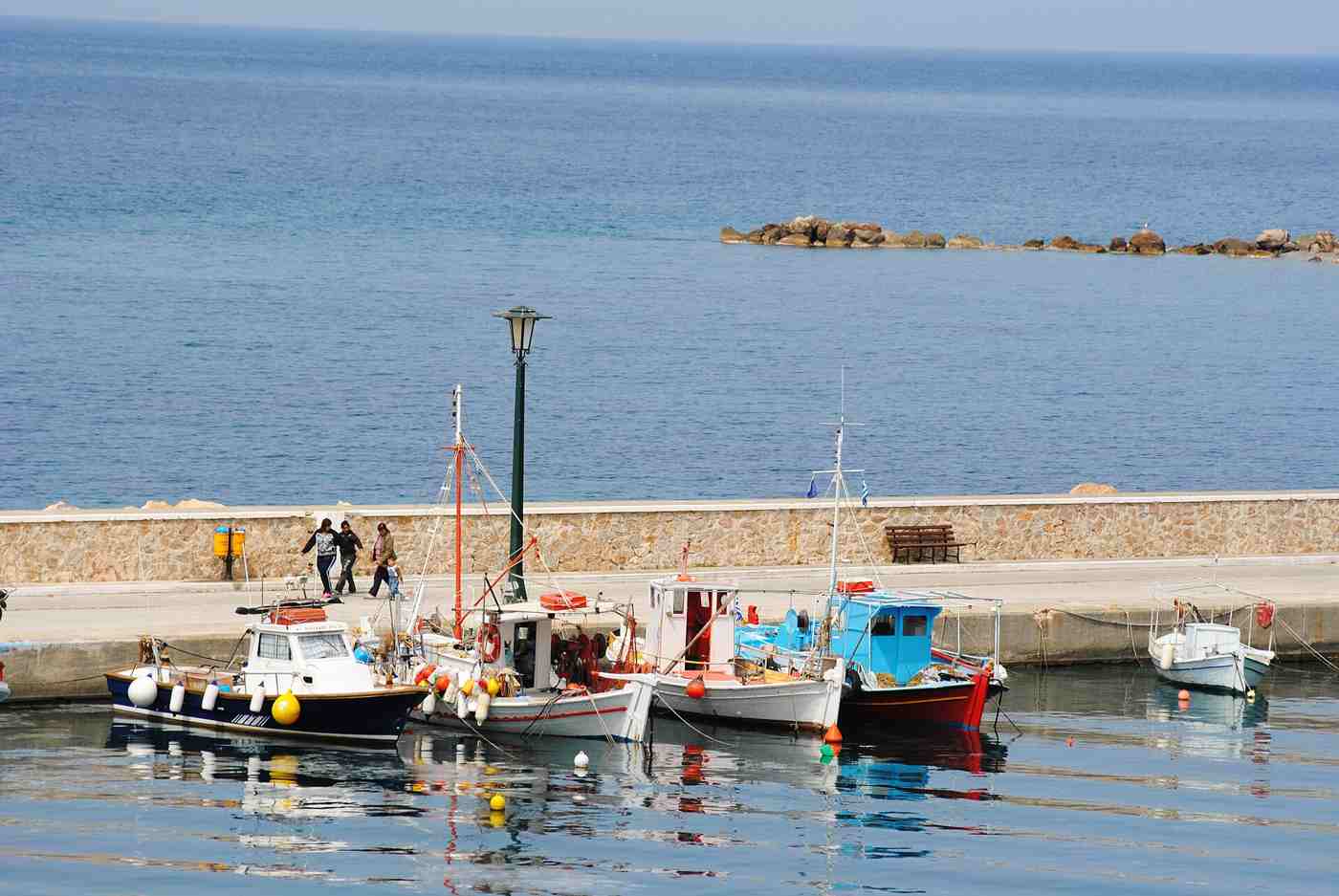
Skopelos, Greece — Βάρκες στο Λουτράκι (Γλώσσα)

Skopelos, nestled in the Northern Sporades, is renowned for its lush landscapes and picturesque coastline. This verdant island, covering about 96 square kilometers, offers a unique blend of natural beauty and cultural heritage. Its strategic location between Skiathos and Alonnisos makes it an attractive destination for travelers seeking tranquility and scenic views. Plan the whole … Read more